Floodplain Management Plan
Consultation has concluded
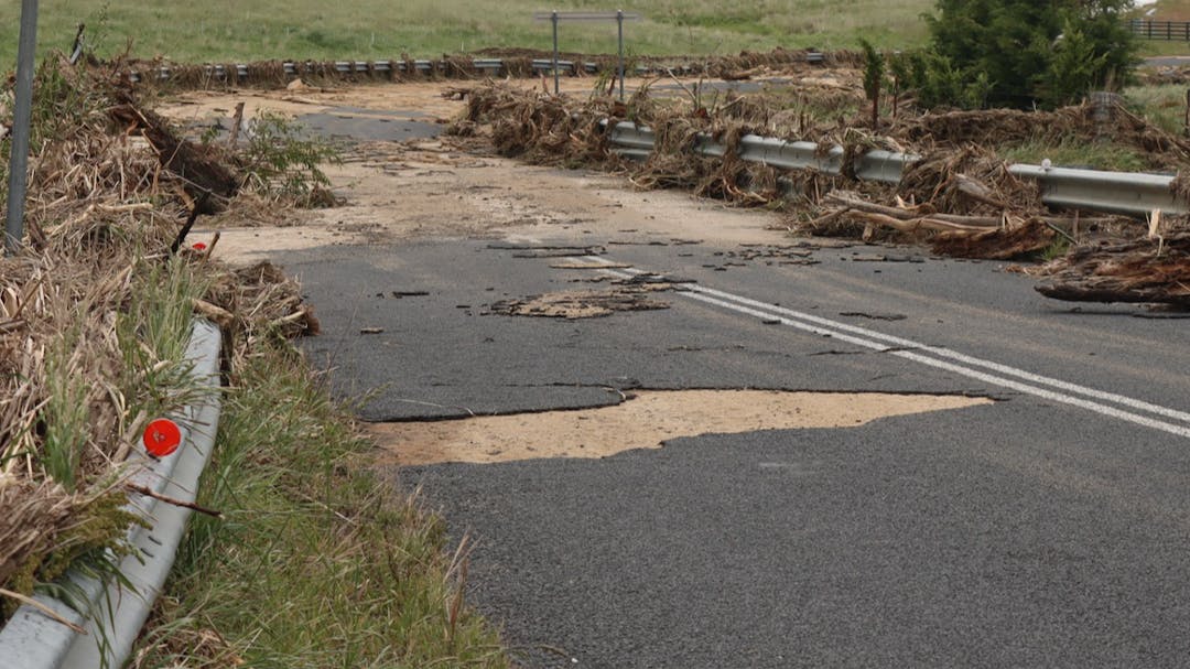
Were you affected by the floods?
Please send us your photos, videos, stories and feedback which will be used to inform the Floodplain Management Plan.
Council is currently reviewing the Floodplain Management Plan and we are seeking your input. The Floodplain Management Plan was developed to reduce the risk of flooding through flood mitigation strategies. It is a requirement under the NSW Government's Floodplain Management program.
The objective is to improve understanding of flood events to better inform flood risk management for property owners and community facilities.
We are looking for photos, videos, stories and feedback on how the community was impacted by the recent flooding events. Please share your experience below.
Submit photos, videos and feedback.

-
Share Golf Driving Range Closed for 4 months due to excessive flooding, on Facebook Share Golf Driving Range Closed for 4 months due to excessive flooding, on X (formerly Twitter) Share Golf Driving Range Closed for 4 months due to excessive flooding, on Linkedin Email Golf Driving Range Closed for 4 months due to excessive flooding, link
Golf Driving Range Closed for 4 months due to excessive flooding,
